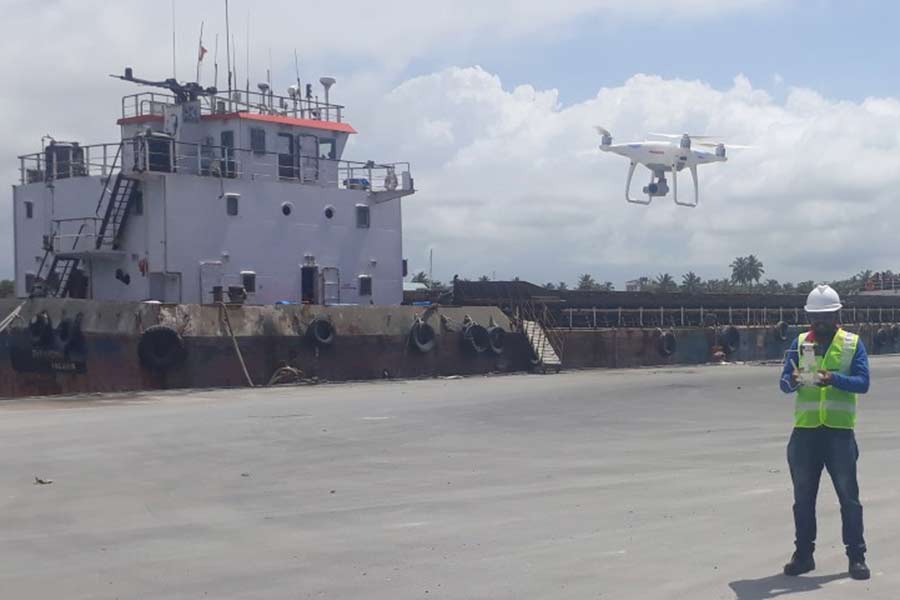
Bathymetric/Hydrographic Surveys provide detailed information about the depths and contours of a body of water. These surveys are used to create comprehensive maps and 3D models of underwater terrain and bathymetric features for a variety of applications. Our company uses the latest in hydrographic survey technology to provide accurate, high-resolution data for our clients. Our bathymetric/hydrographic surveys can be used for engineering, construction, dredging, navigation, coastal mapping, and more. With our experienced team of surveyors, we can provide reliable, cost-effective solutions to meet your unique needs.


