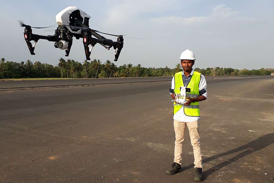
Our team of experienced professionals provide UAV and Drone surveys to capture aerial data and imagery. We use the latest in drone technology to ensure data accuracy and quality. Our surveys are used for a wide range of applications, including land surveying, construction, infrastructure inspection, mapping, and much more. Our team also provides training and consultation for businesses and individuals looking to use drones for their projects.


