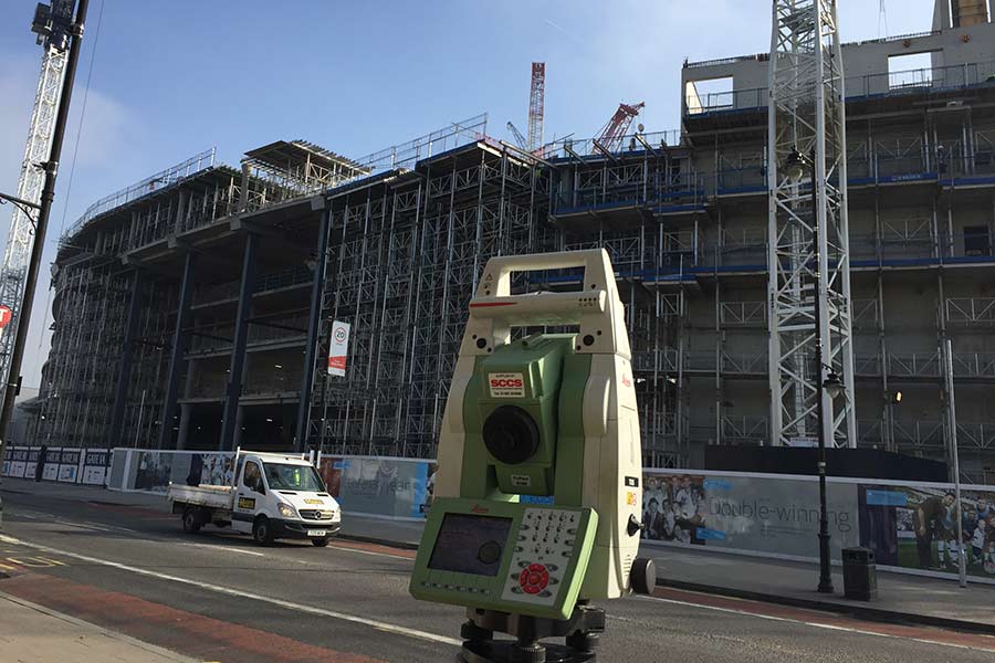
At Panoptic Services, we offer topographic and land surveying services to provide our clients with accurate and up-to-date data that is essential for engineering and construction projects. We specialize in the collection of data related to the land’s surface features and elevations to produce detailed maps, charts, and plans. Our team of highly skilled and experienced professionals use the latest technology and equipment to ensure accuracy and precision. Our services include boundary surveys, topographical surveys, elevation surveys, as-built surveys, and more. With our expertise and attention to detail, we are confident that we can provide our clients with the best surveying services.


